MODEL-FIRST CV
RGB image→Pretrained model→Inference
Effective for standard visual tasks when the imagery already contains a strong, usable signal.
 Spectral Mapping
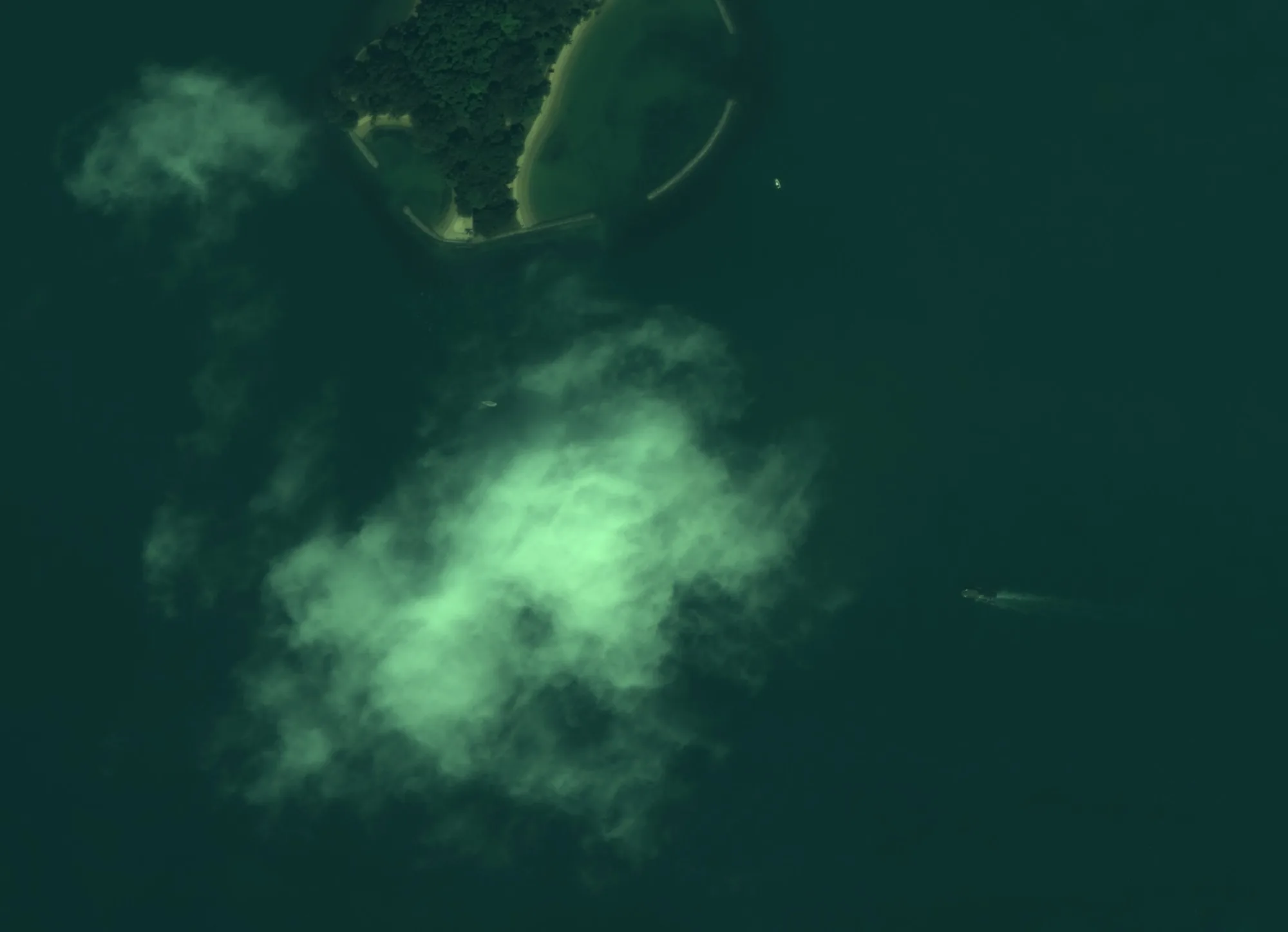
Measurement-first vision engineering
I engineer the full path from physical signal to operational decision, spanning illumination, spectrum, optics, sensors, radiometry, spatial context, models, and deployed inference.
01 / THE DIFFERENCE
Most computer-vision projects begin with an available RGB image and a pretrained model. I work farther upstream, determining what must be observed, how it should be measured, and whether the resulting signal can support a reliable operational decision.
02 / MEASUREMENT BEFORE MODEL
It begins with the physical phenomenon and the information the sensing system can preserve.
MODEL-FIRST CV
Effective for standard visual tasks when the imagery already contains a strong, usable signal.
MEASUREMENT-FIRST VISION
Designed for problems where wavelength, resolution, atmosphere, geometry, calibration, or deployment conditions determine whether the answer is observable at all.
Before choosing a model, I ask:
03 / PHYSICS TO DECISION
Every stage changes what the system can know. Treating the chain as one engineering problem prevents a polished model from being built on weak or misleading measurements.
04 / BEYOND RGB
RGB records three broad channels designed around human perception. Many valuable physical phenomena reveal themselves through spectral, thermal, temporal, geometric, or geospatial information that ordinary imagery does not preserve.
05 / THE METHOD
Each system starts with what can be observed, then follows the signal through sensing and interpretation to an operational decision. Pick an example to see how each step was decided.
06 / SELECTED SYSTEMS
A selection of systems across maritime, wildfire, agriculture, and defense. Open any project for the problem, sensing approach, processing steps, and results.
07 / WHAT I BUILD
Determine how the physical phenomenon becomes visible and select the appropriate sensing modality, wavelengths, optics, resolution, and acquisition conditions.
Preserve physical meaning through radiometric and geometric calibration, registration, signal-quality analysis, and spatial context.
Apply spectral and spatial features, classical vision, foundation models, detection, segmentation, classification, tracking, and sensor fusion where each fits.
Connect inference to cameras, embedded hardware, geospatial pipelines, edge-to-cloud architecture, APIs, and operational workflows.
08 / WHERE IT WORKS
09 / GLOBAL REACH
Sensing problems change with latitude, climate, and terrain. Projects span coastal, agricultural, urban, and remote environments.

Organizations I’ve worked with












Logos are trademarks of their respective owners. Their display reflects past or current project work and does not imply endorsement.
10 / FOUNDER
Spectral Mapping is the independent consultancy of Bernard Lawes, a vision and geospatial AI engineer working across the complete chain from physical signal to deployed inference.
Clients work directly with the person architecting and prototyping the solution, from early technical discovery through proof of concept and deployment planning.
Contact Bernard directly11 / START A CONVERSATION
Let’s evaluate the physical signal, sensing constraints, available data, and smallest credible prototype before committing to a model.
Discuss a prototype hello@spectralmap.ioor send a message here